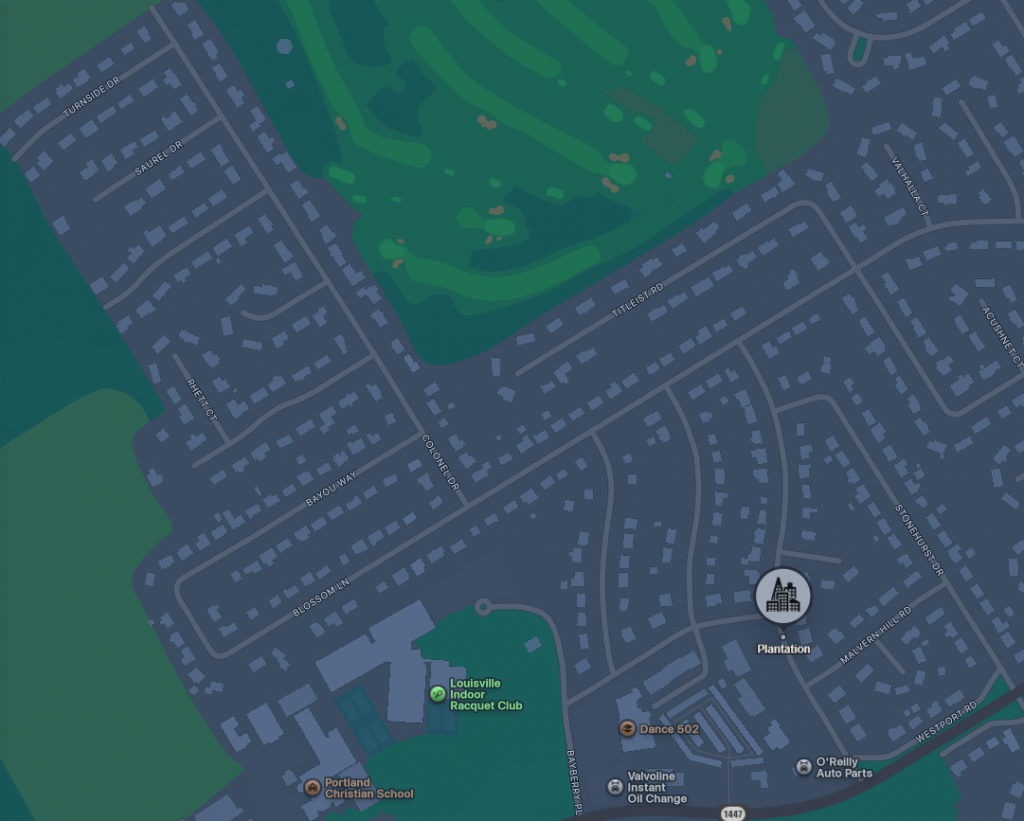
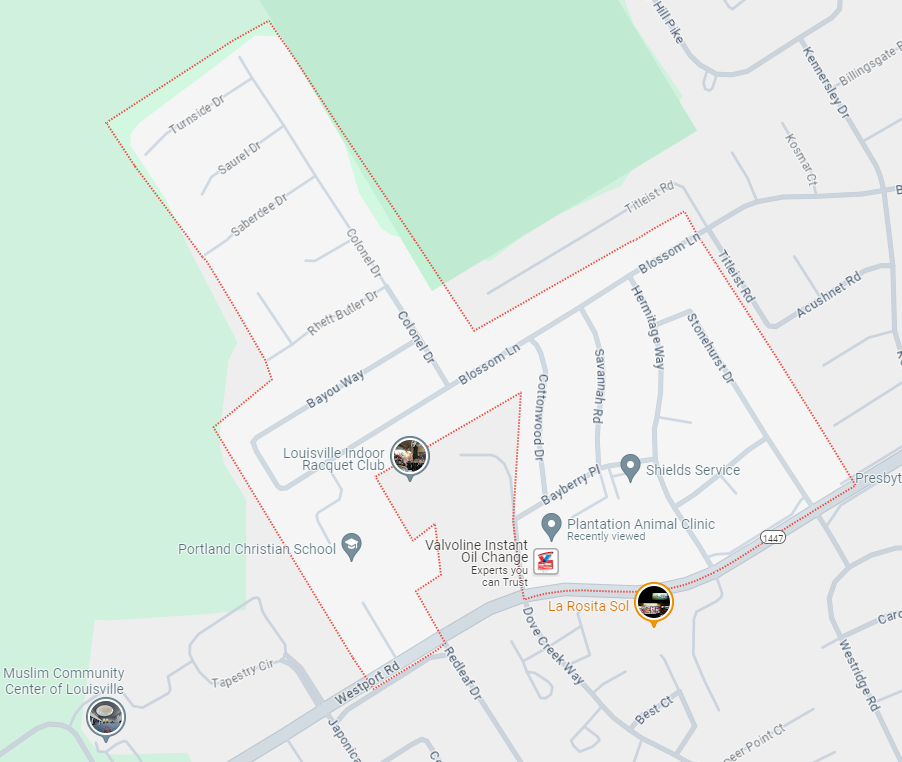
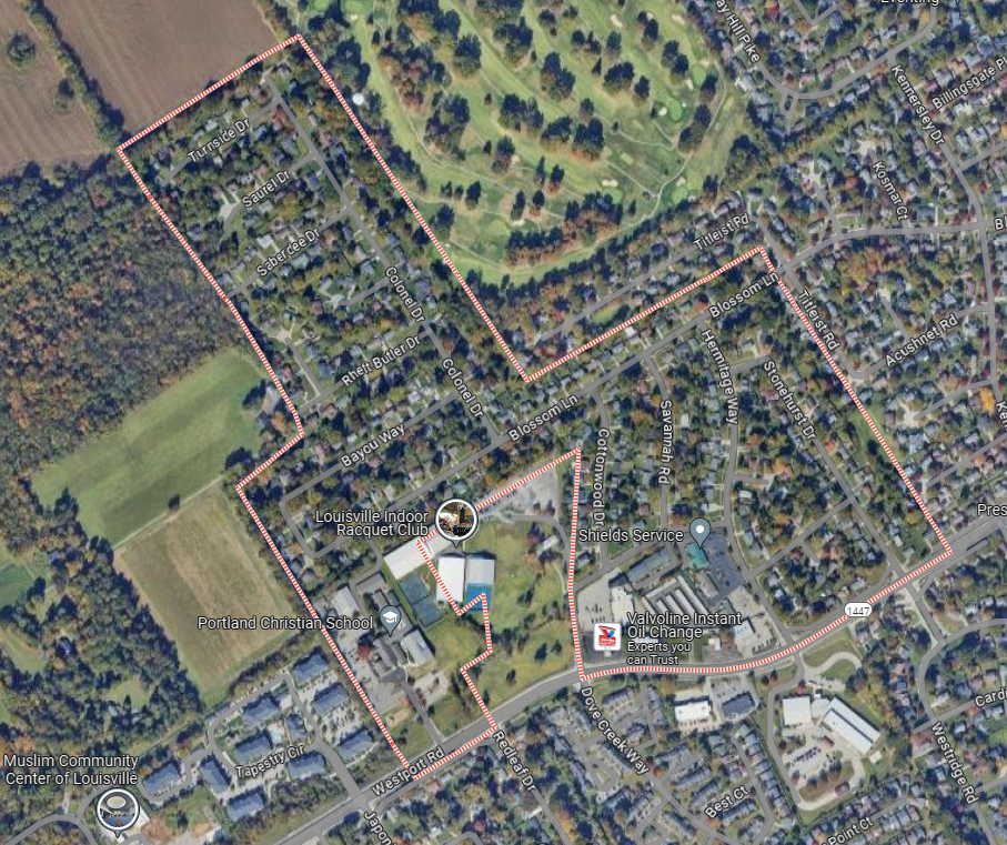
Plantation is located in northeastern Jefferson County. Downtown Louisville is 10 miles (16 km) to the southwest. Plantation is bordered to the northeast by Langdon Place, to the southeast by Westwood, to the south by Briarwood, and in all other directions by consolidated Louisville/Jefferson County. According to the United States Census Bureau, Plantation has a total area of 0.2 square miles (0.5 km2), all of it recorded as land.
The boundaries for Plantation are Westport Road on the southern boundary and Stonehurst Drive on the eastern edge of the neighborhood. Colonel Drive runs north to Turnside Drive which marks the northern boundary and Blossom Lane and Bayou Way extend west to the western boundary.
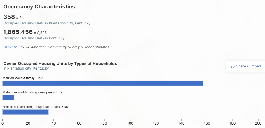
2020 US Census data